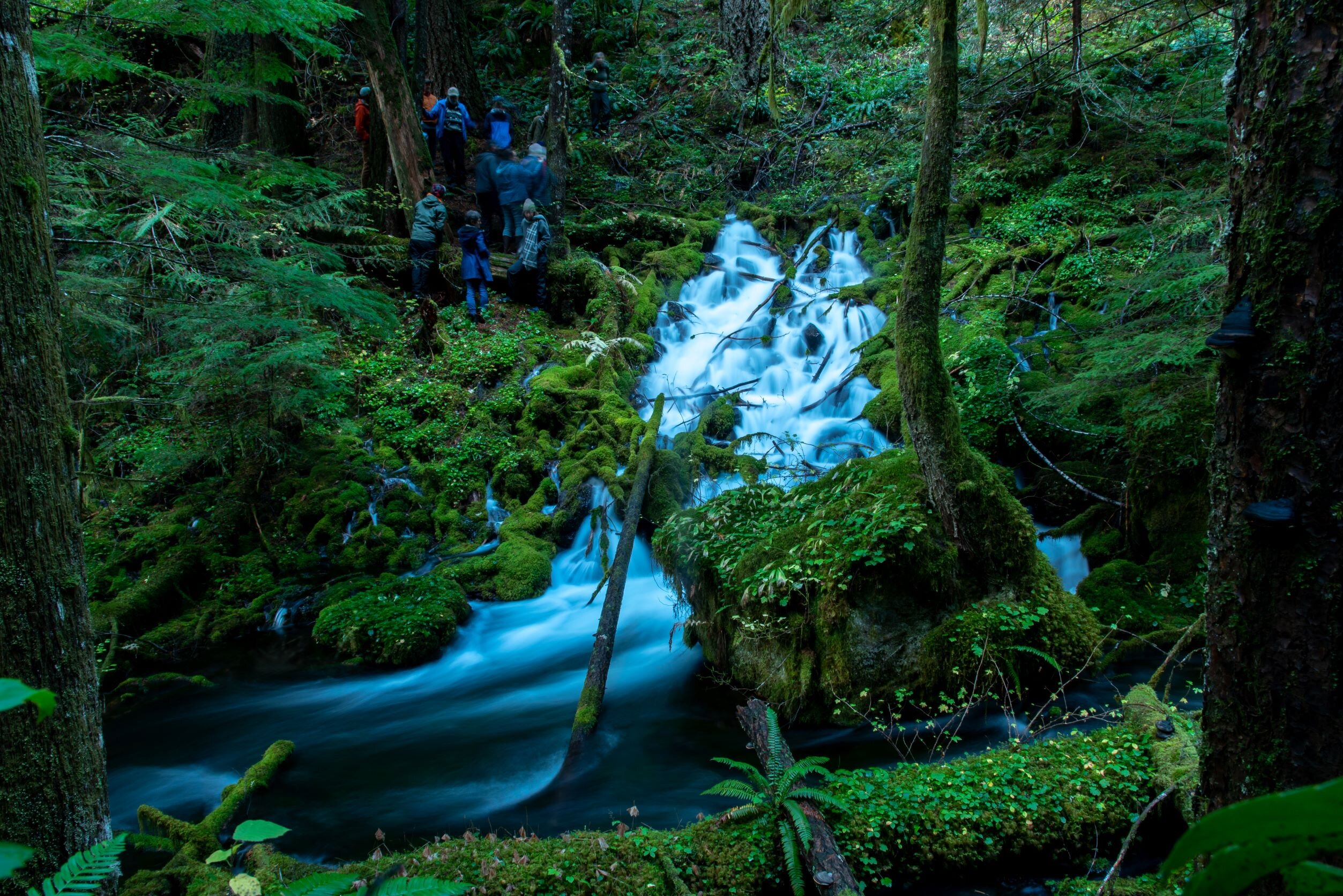
Oregon’s Cascade Range Mountains are known for their rugged landscapes, towering peaks, and active volcanoes. While these volcanoes are renowned for their explosive past and potential hazards, they also harbor an unexpected, valuable resource beneath their surface—water. A groundbreaking study by scientists from the University of Oregon (UO) and their research collaborators has uncovered a massive underground aquifer beneath the volcanic rocks at the crest of the central Oregon Cascades. This discovery has major implications for the region’s water resources and its future environmental management.
The Surprising Discovery of the Cascade Aquifer
The aquifer, which spans an estimated volume of 81 cubic kilometers, was found to be much larger than previously expected. To put this volume in perspective, it’s almost three times the maximum capacity of Lake Mead, the United States’ largest reservoir, located along the Colorado River, which is already severely strained. The newly discovered aquifer is also more than half the volume of Lake Tahoe. The findings were published on January 13 in the journal Proceedings of the National Academy of Sciences.
The implications of this discovery are significant not only for our understanding of the Cascade Range’s water resources but also for the growing water scarcity challenges facing the Western United States. As climate change accelerates, reducing snowpacks and increasing the frequency of droughts, understanding the nature and volume of groundwater storage becomes an essential component of future water management and policy in the region.
Understanding the Connection Between Volcanoes and Water
The new aquifer was mapped beneath volcanic rocks in the high elevations of the central Oregon Cascades, which have been shaped by volcanic activity over millions of years. But unlike traditional aquifers that often lie in sedimentary layers, the Cascade aquifer is confined within volcanic rocks. This type of aquifer can be more challenging to detect, as it doesn’t conform to the typical appearance of an underground water source. For years, estimates of water storage in the Cascades were based on rivers, springs, and surface water flowing down from the mountains. This study, however, reveals that the true storage potential of the region is much greater than those earlier assessments.
Professor Leif Karlstrom, a UO Earth scientist and the study’s lead author, explains this new discovery by comparing the aquifer to a “big water tower” stored in the rocks at the top of the mountains, with vast amounts of water stored in porous volcanic rock formations that naturally behave like a reservoir. The team has compared their findings with similar volcanic aquifers located to the north of the Columbia Gorge and near Mount Shasta, suggesting that the Cascade Range could potentially house the largest volcanic aquifer system of its kind on the planet.
In fact, most of Oregon’s population relies on water from sources that originate in the Cascade Range, such as the McKenzie River, which serves as the primary water supply for the city of Eugene. A better understanding of how water moves through the landscape, and how it is stored beneath the surface, can provide better management strategies for preserving such vital resources in the future.
A Groundbreaking Methodology
To gain a comprehensive understanding of how water is stored underground in these volcanic rocks, the research team utilized historical data from drilling operations initiated as early as the 1980s and 90s. These earlier drilling projects were not specifically intended to map groundwater, but rather to investigate geothermal potential, as the Cascades are known for their many hot springs and thermal activity.
By studying temperature gradients at various depths in these boreholes, the team discovered that groundwater flowing through cracks in volcanic rocks can significantly alter the natural temperature patterns typically found in deep rock formations. Normally, deeper rocks are hotter, but the infiltration of water cools them down and creates a more uniform temperature across several kilometers of depth.
By analyzing these temperature anomalies, the researchers could infer how much groundwater was moving through the volcanic rock and map the extent of the aquifer. Previous studies of the region had mostly relied on measurements from rivers and stream discharges, giving an incomplete picture of the amount of water stored underground. This new approach offers a more accurate—and surprisingly large—estimate of the available water storage.
Although the new aquifer volume calculation is impressive, Karlstrom and his team acknowledge that it may still be a conservative estimate. Many of the deep drill holes that were used for data were not initially designed with groundwater mapping in mind, which means that data for some areas may still be lacking. Therefore, the actual volume of water stored in the Cascades could be even larger than the team’s findings suggest.
The Importance of Preserving Cascade Water Resources
The discovery of such an enormous water reserve is undoubtedly encouraging, but it comes with important caveats. While the aquifer appears to be a major resource, it is still a finite one that requires careful management, especially as climate change presents growing risks. The aquifer is largely replenished by snowmelt, which serves as its primary source of recharge. However, changes in weather patterns due to climate change may dramatically impact the region’s snowpack, which is expected to rapidly decrease over the coming decades. As temperatures rise, more precipitation will likely fall as rain rather than snow, significantly altering the amount of water available to recharge the Cascade aquifer.
“The longevity and resilience of this underground reservoir depend largely on the availability of recharge waters,” said Karlstrom. If the region experiences consecutive years of low precipitation or minimal snowpack, the aquifer may struggle to replenish itself at the rate it once did. “This is a resource that must be closely monitored to ensure that it doesn’t become depleted,” he warned.
Karlstrom is clear that while the Cascade aquifer is resilient to short-term fluctuations in precipitation, a prolonged period of drought could test the aquifer’s ability to provide sufficient water for the region. Furthermore, snowpack is crucial not just for replenishing the aquifer but also for ensuring steady flows in rivers and streams, which depend on snowmelt to maintain water levels. If winter conditions become more volatile and less predictable, the sustainability of the aquifer and surrounding water sources could be at risk.
Volcanic Hazards and Water: The Bigger Picture
In addition to its importance as a water resource, the discovery of such a large underground aquifer has implications for our understanding of volcanic hazards in the region. The presence of substantial groundwater reserves in active volcanic areas is highly relevant to the study of volcanoes and their eruptions. Magma interacting with water tends to cause explosive volcanic events, leading to violent eruptions that send ash and gas into the atmosphere. In contrast, lava flows associated with less water often result in slower-moving eruptions, which can pose fewer immediate dangers.
The interaction between groundwater and volcanic activity is an important factor for local communities and policymakers to consider when preparing for potential eruptions. Understanding the behavior of the Cascade aquifer in relation to volcanic hazards is crucial in reducing risks in the event of an eruption. Volcanic scientists, as well as local governments, will need to monitor water levels and volcanic activity carefully to predict and mitigate the risks associated with future eruptions in the region.
Looking Ahead: Managing Water in the Changing Cascades
This discovery is just the beginning of a larger conversation about the future of water in the West, and how the Cascade Range’s volcanic aquifer could help alleviate the growing pressures on water systems across the region. As the effects of climate change intensify, both the scientific community and policymakers will need to consider how to best manage this precious water resource, ensuring it can continue to provide for the needs of millions while also protecting the delicate ecosystems that rely on it.
“This region has been handed a geological gift,” said Gordon Grant, a study co-author from the U.S. Forest Service. “But we are really just beginning to understand it.” The ultimate challenge lies not in discovering new sources of water but in balancing demand and supply as environmental conditions shift and change. Ensuring the long-term health and sustainability of the Cascade aquifer will require a combination of scientific monitoring, policy innovation, and adaptation to the reality of an evolving climate.
The scale of this discovery is a testament to the importance of continuing research into the complexities of water systems, particularly as we face an era where access to clean, abundant water will be increasingly vital to our survival. Whether in the Cascades or elsewhere, understanding the hidden resources beneath our feet is critical in preparing for the challenges of tomorrow.
Reference: Karlstrom, Leif et al, State shifts in the deep Critical Zone drive landscape evolution in volcanic terrains, Proceedings of the National Academy of Sciences (2025). DOI: 10.1073/pnas.2415155122. doi.org/10.1073/pnas.2415155122
